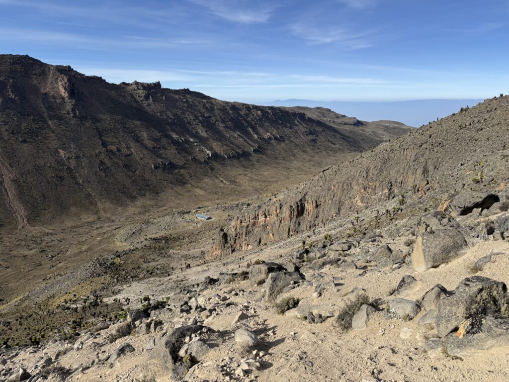
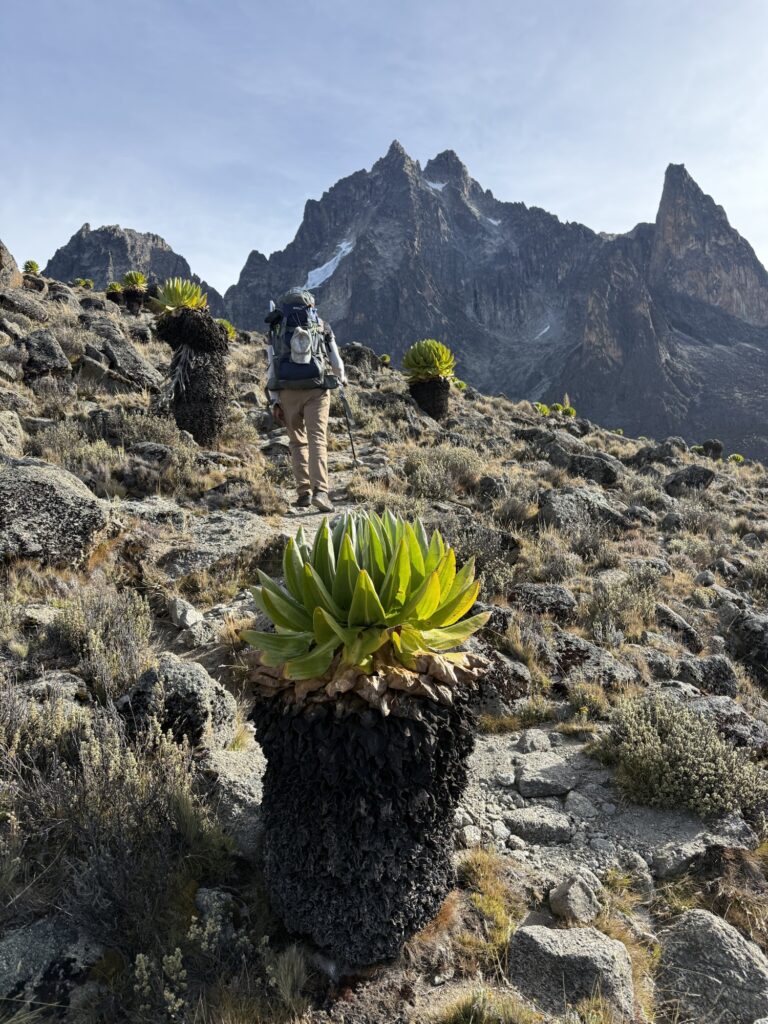
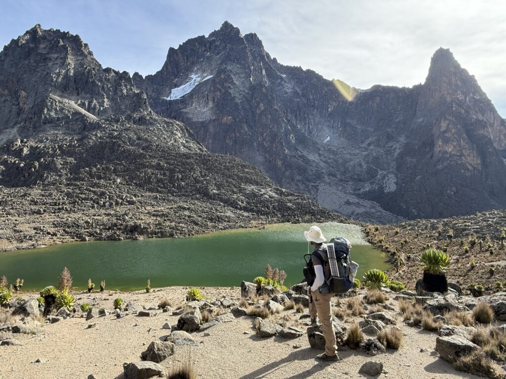
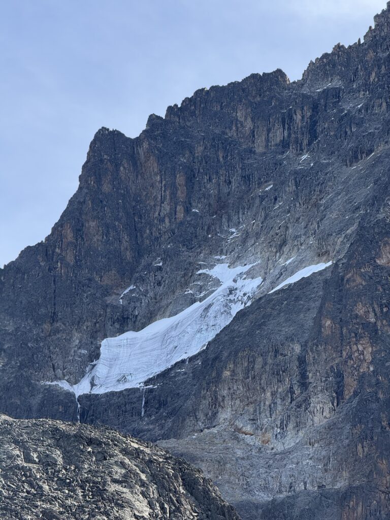
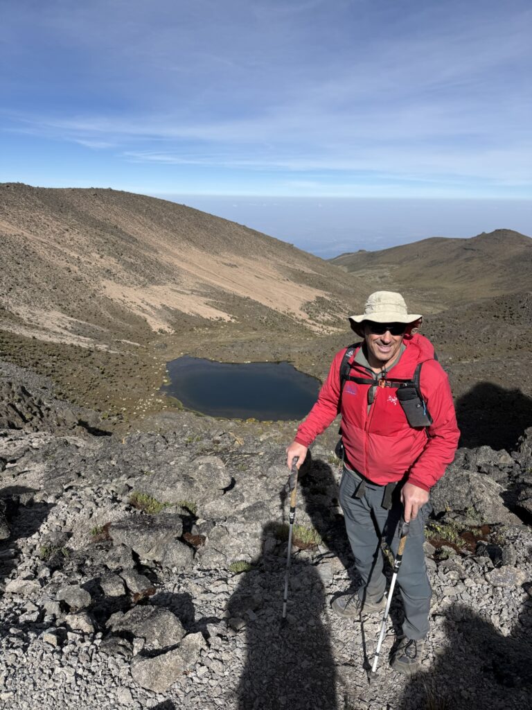
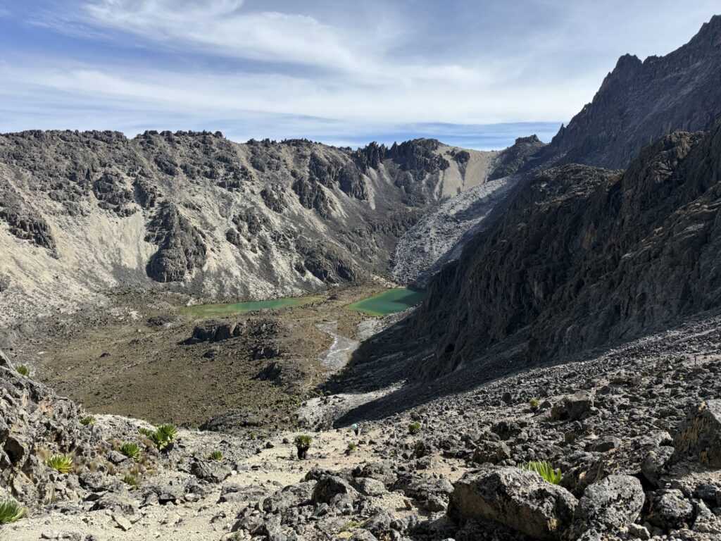
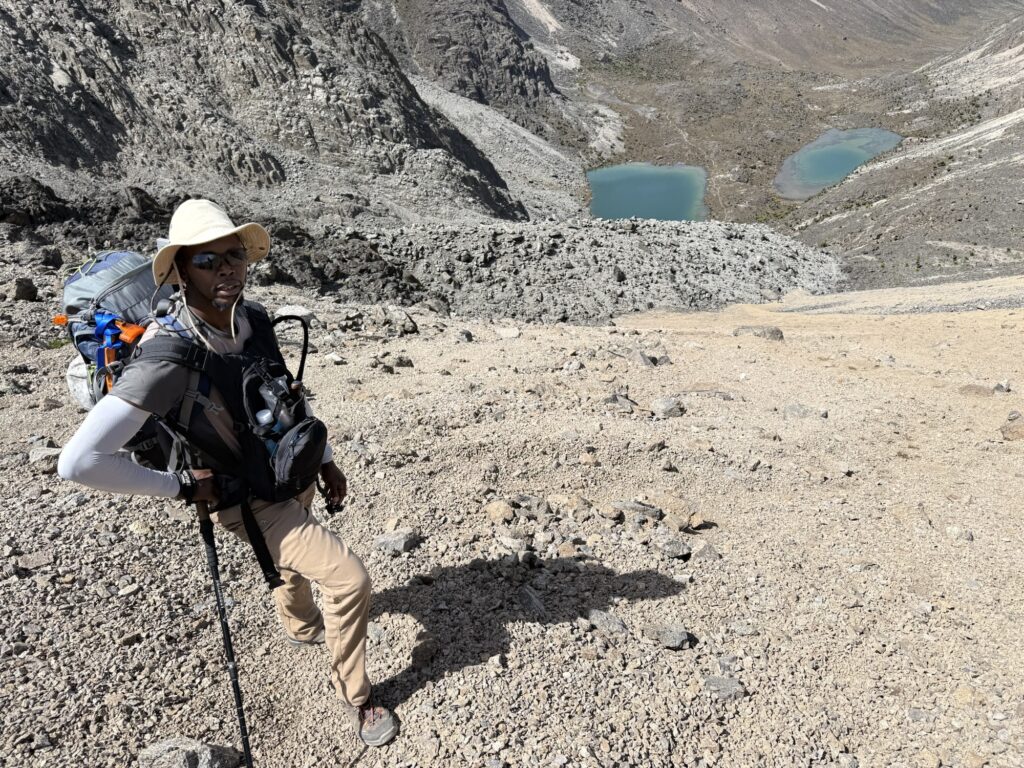
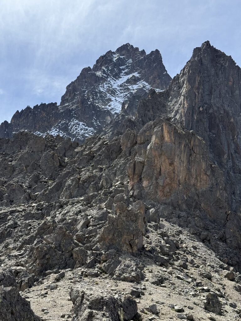
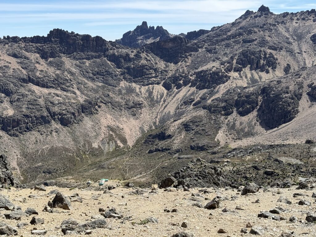
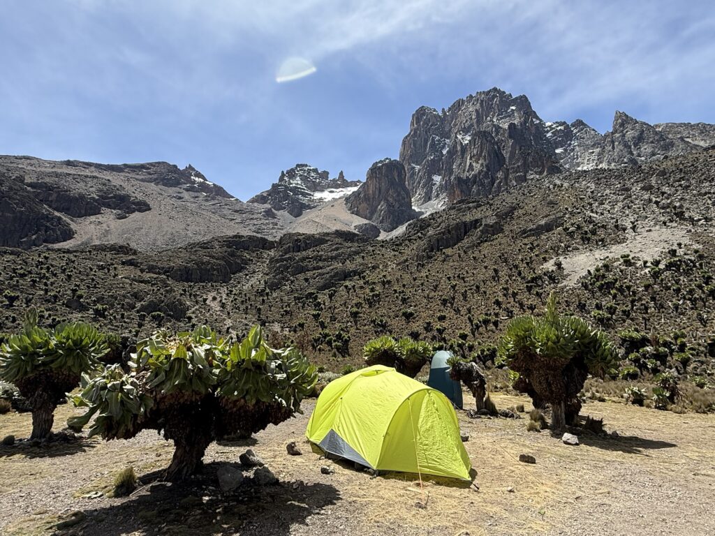
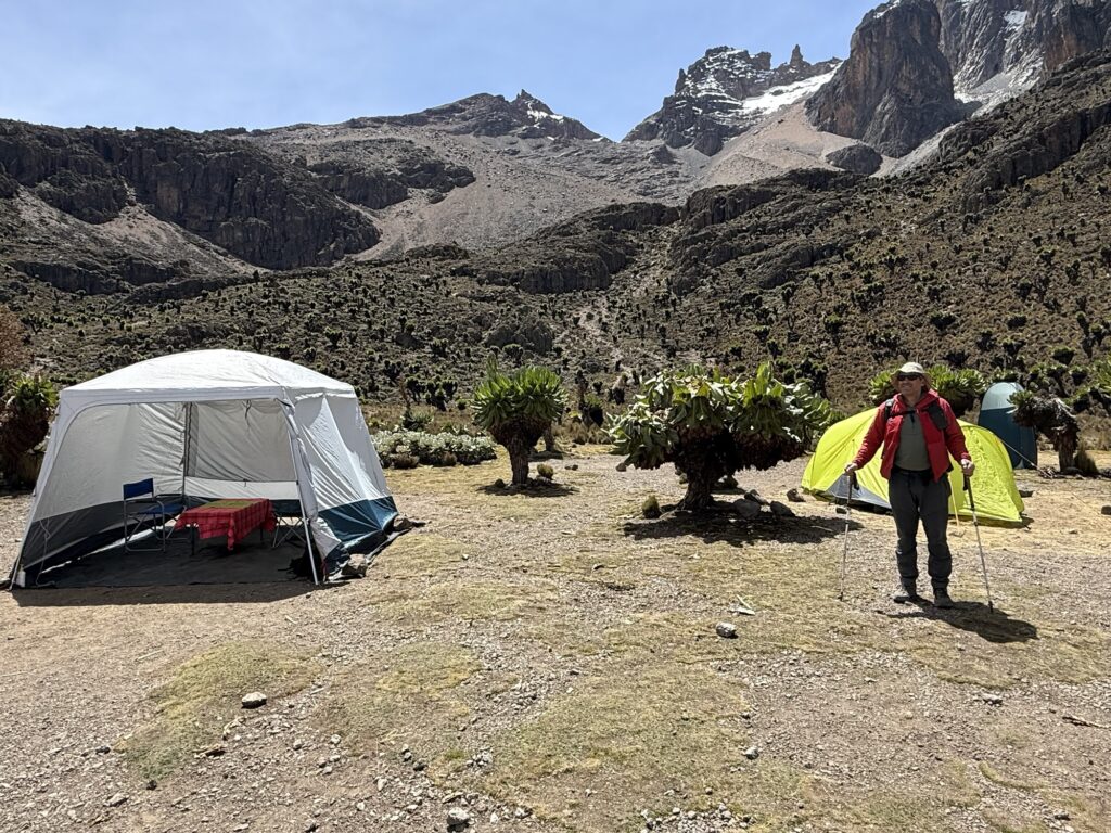
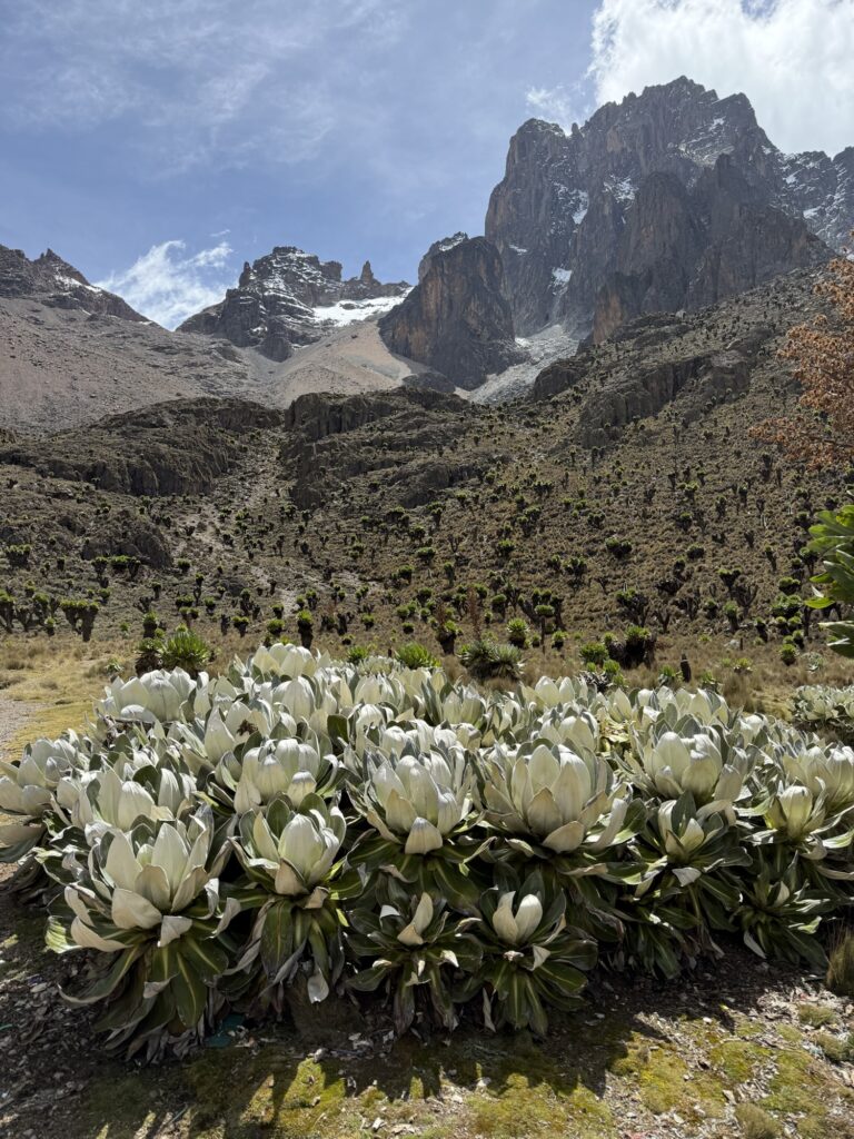
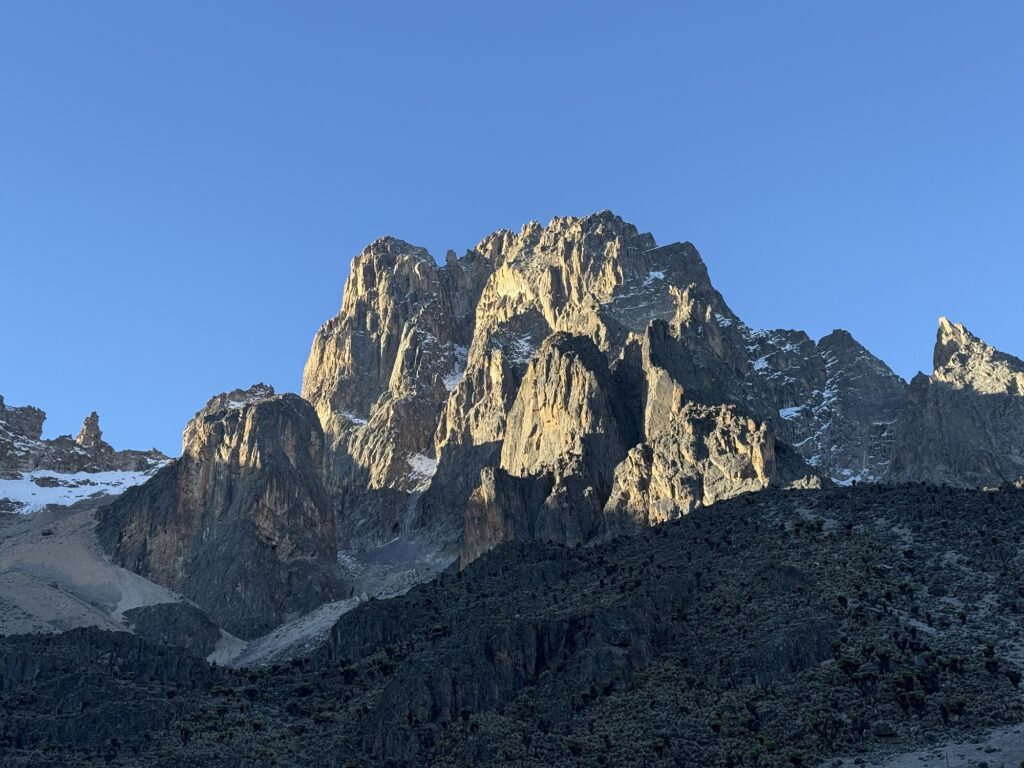
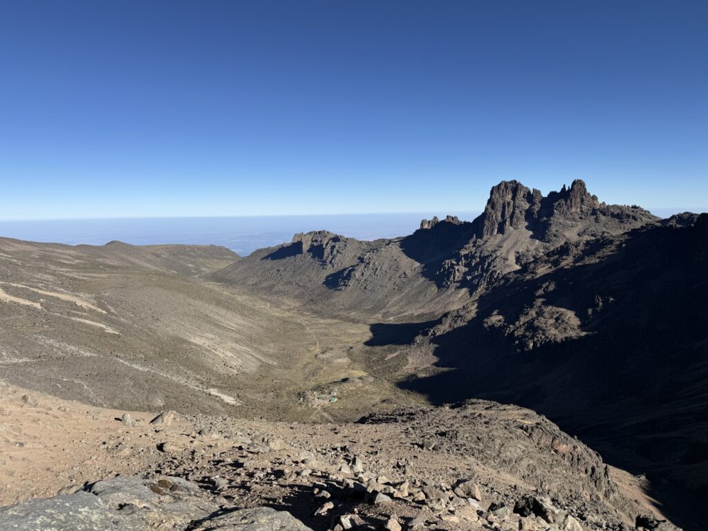
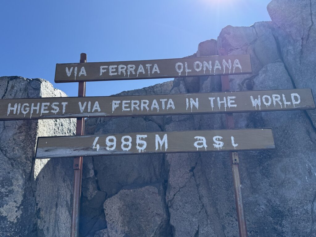
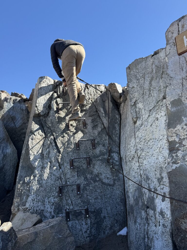
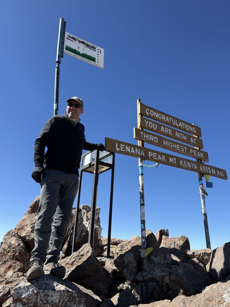
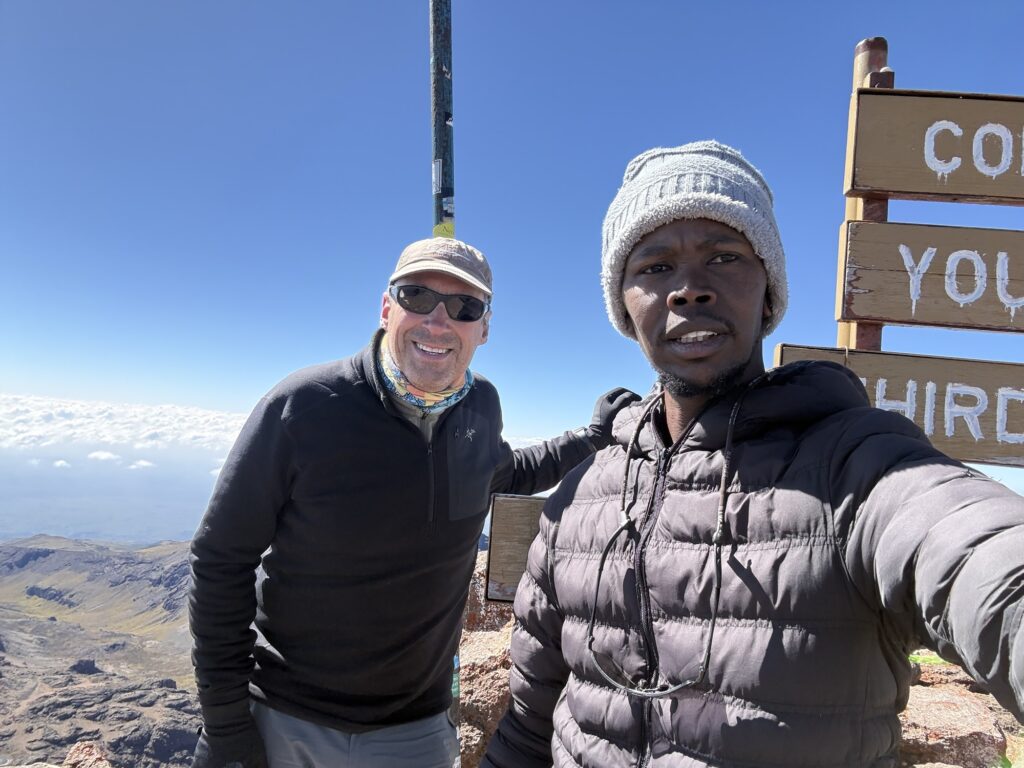
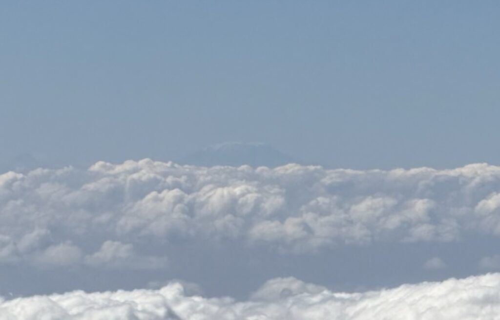
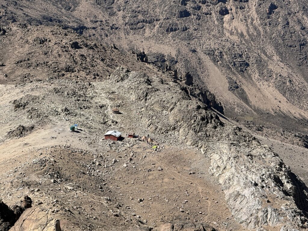
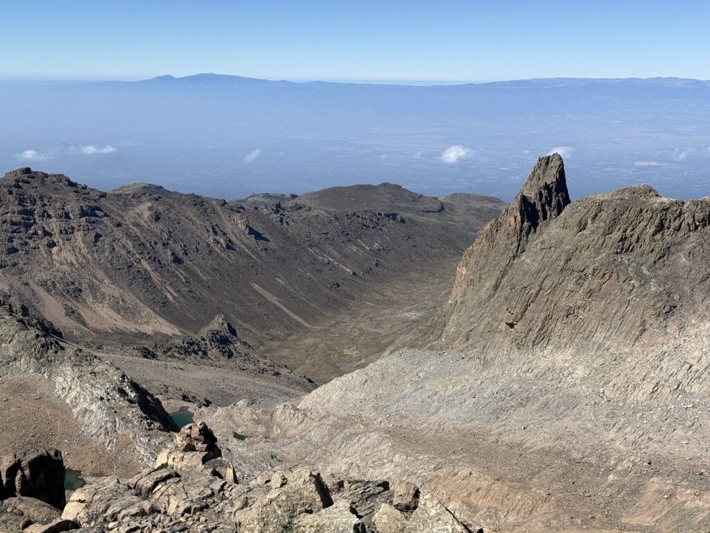
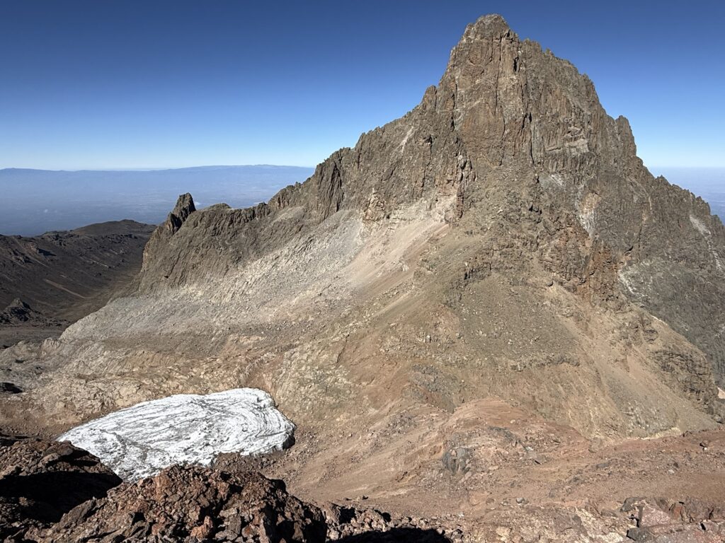
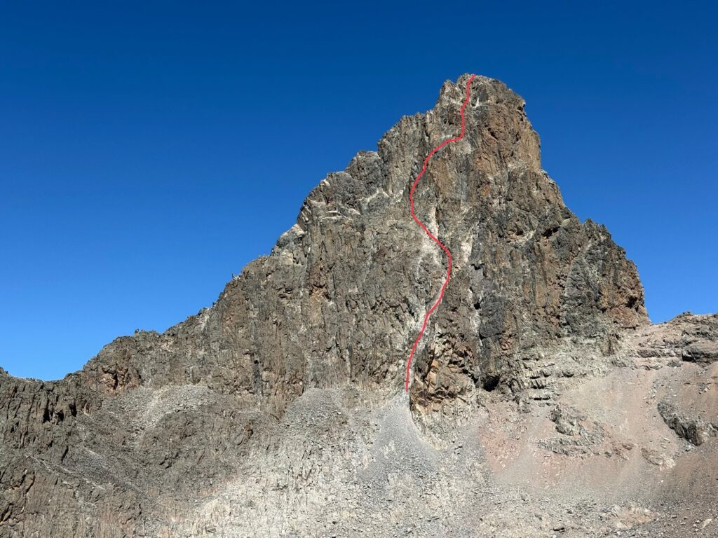
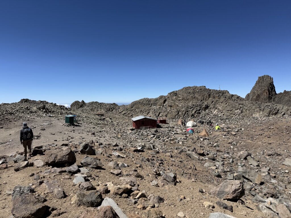
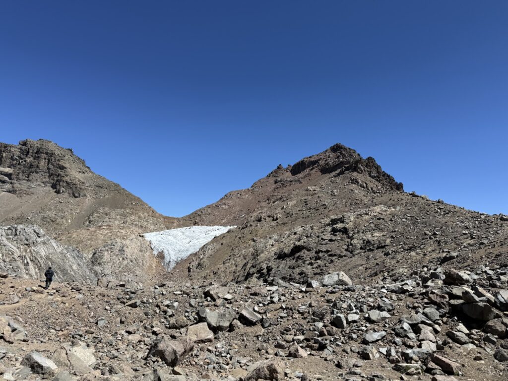
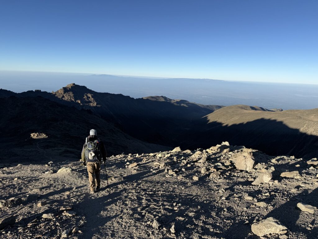
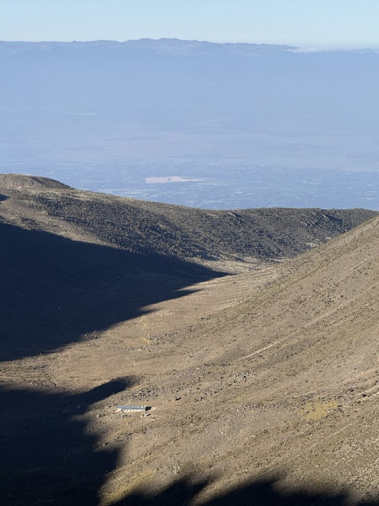
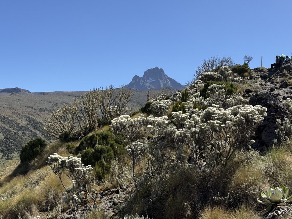
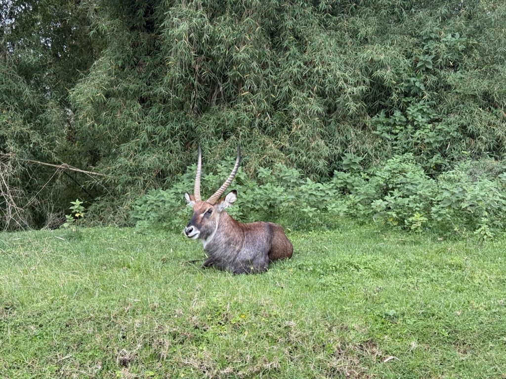
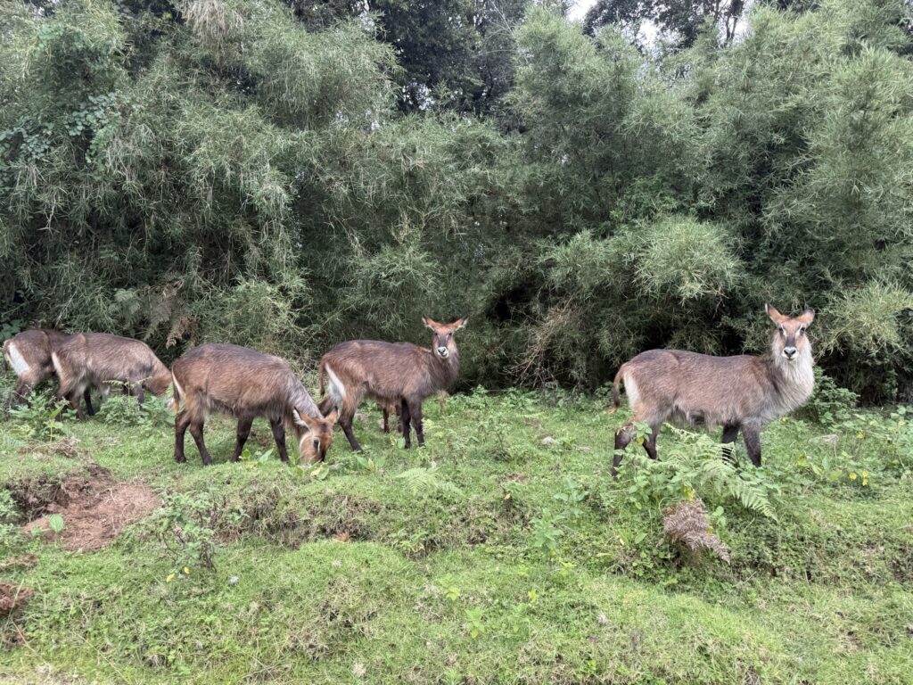
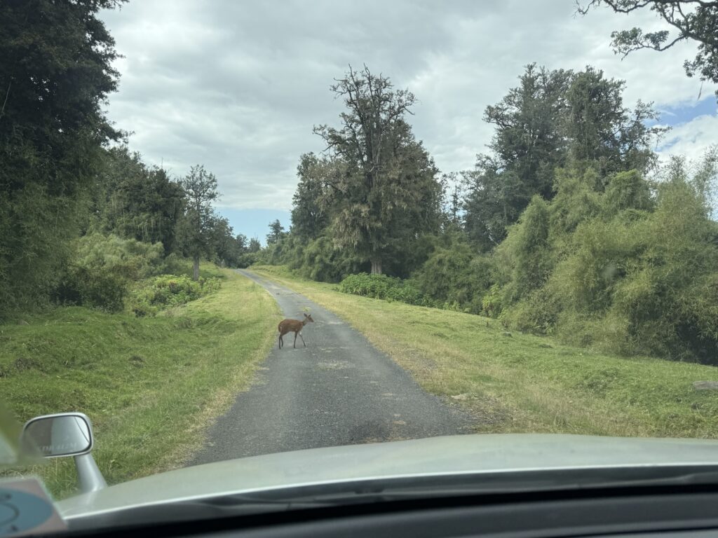
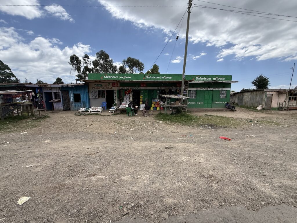
On the 3rd day of our Mt Kenya adventure, we moved from the Mackinder hut to the Shipton hut. This is looking back at the Mackinder hut.We passed a half dozen lakes on this hike and they were quite lovely. Here I got a glimpse of how a native Kenyan feels about this place. Steven was in awe of how clear the water was and said that it was the cleanest lake he has ever seen. He was euphoric about it and it was wonderful to see this spiritual side of him. It made me appreciate my privileged life, To put this in perspective: while the water here on Mt Kenya was mostly clear, if we were in, say, the Wind River Mountains of Wyoming and saw the exact same water, we might move on looking for a cleaner lake. Sometimes it takes somebody else’s perspective to see how good we have it.I think this is the largest glacier remaining on Mt Kenya. Oddly, it’s on the west face. In North America, the largest glaciers tend to be on the shady north faces. South of the Equator, the largest glaciers tend to be on the southern faces. Here on the Equator (well, 14 miles south of the Equator to be exact), the shadiest side of the mountains are the west faces, as a typical day dawns clear and then clouds up in the afternoon, so the face that gets the least amount of sunlight are the west faces that are shaded by afternoon clouds.Down to the lakes, and up the scree slope on the right.High on the screen slope from that last pictureFresh snow on the north face of the mountain. During the northern hemisphere’s winter, the mountains on the equator tilt 23 degrees away from the Sun, leaving one side sunnier, and the other side shadier. In January, the north faces are shadier than the south faces, thus, the snow from the afternoon storms linger. In July and August, it’s the south faces that are shadier. There is a relatively modest route that goes up that north face to the summit, but it’s mostly climbed in August and September when the Sun melts the snow on the north side of the mountain. My intended route, which is also the easiest route on the mountain, is on the south face and is thus mostly snow free in January.Heading down to the Shipton Hut at 14,000’Tent was all set up and waiting for meThat is Pt Lenana in the center of the photo. That’s what we’ll go up tomorrow.There is a 5.8 route that goes directly to the summit on that wall somewhere. I think it’s 20 to 25 pitches long. I wasn’t able to pick the route out using the guidebook that I had.Heading up Pt Lenana the following day.That’s pretty much the entire Via Ferrata right there.16,355’Yup. That’s Kilimanjaro 200 miles to the south.Looking down at the Austrian Hut, aka high camp (15,700’), from the summit of Pt Lenana.The Mackinder Hut just right of the center of the photo. The next day we’ll hike out past it down to the trailhead in the rainforest.The real mountain with a small remnant glacier. Only a decade or two ago the ice connected to this glacier went all the up to where I’m standing taking this photo.The route up Nelion. This doesn’t show the traverse to the true summit Batian which is hidden behind.Arriving at the Austrian HutLooking back at Pt LenanaToo sick to climb, so we’re heading to the car with an early start the next morning.The Mackinder Hut.One last look at the mountainA male BushbuckFemale BushbucksA common duikerThe blue facade claims to be the Rafiki Hotel. I wonder if they have any vacancies?